


2eme Rando Innsbruck

patign
User

Length
10.2 km

Max alt
1885 m

Uphill gradient
509 m
Km-Effort
17.2 km

Min alt
1327 m

Downhill gradient
581 m
Boucle
No
Creation date :
2025-05-13 08:22:59.0
Updated on :
2025-05-13 13:48:58.164
3h09
Difficulty : Medium

FREE GPS app for hiking
 SityTrail
IGN / Geographical institutes
SityTrail Plus
The world is yours!
About
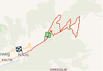
Trail Walking of 10.2 km to be discovered at Tyrol, Bezirk Innsbruck-Land, Gemeinde Navis. This trail is proposed by patign.
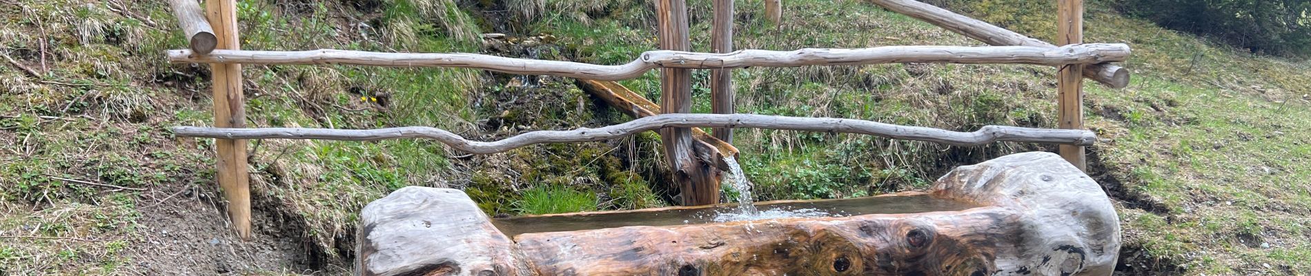
Photos

Positioning
Country:
Austria
Region :
Tyrol
Department/Province :
Bezirk Innsbruck-Land
Municipality :
Gemeinde Navis
Location:
Unknown
Start:(Dec)
Start:(UTM)
693582 ; 5223506 (32T) N.
Comments